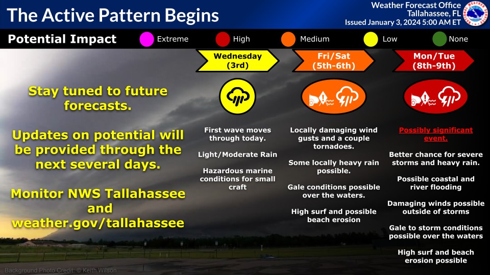
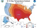
The active pattern begins today with a wave of rain, but each system will get progressively stronger as we head into the early part of next week with a potentially significant event for Monday and Tuesday
The active pattern begins today with a wave of rain, but each system will get progressively stronger as we head into the early part of next week with a potentially significant event for Monday and Tuesday.
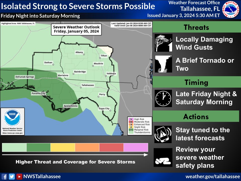
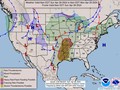
For Friday night into Saturday, an area of low pressure moves across the area, bringing a chance for a few strong to severe storms overnight. Locally damaging wind gusts and a brief tornado or two are possible, along with locally heavy rain and dangerous beach conditions.
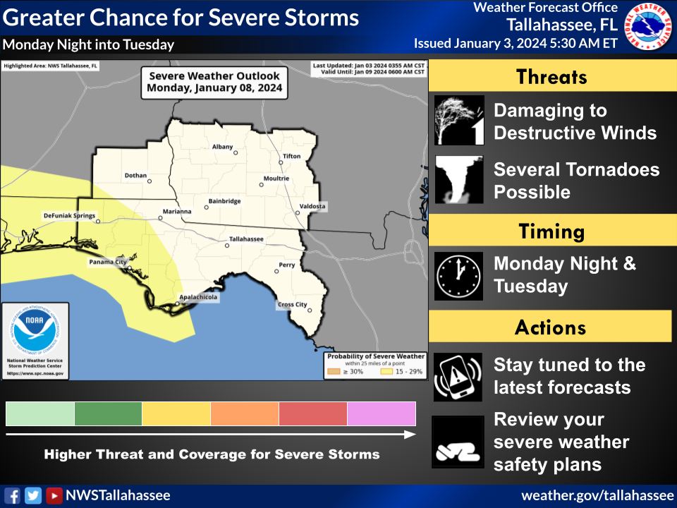
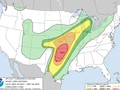
Monday night into Tuesday will be a greater chance for severe storms, which could be a more significant event. Details are still uncertain, but we are closely watching this system. There is a 15-29% chance of severe weather (equivalent to a Slight Risk/level 2 of 5).
More details regarding flash/river/coastal flooding, winds outside of storms, and potentially dangerous beach/boating conditions will be provided as these events draw closer. Stay tuned to the latest forecasts by going to our website: www.weather.gov/tallahassee.
|
|

Weather searching weather forecast for all cities in the world.
The second option is to search through list of continents and countries.
